A watershed is an area of land that drains to a river, lake, or ocean. Surrounding hills determine how the land divides into different watersheds. When rain and snow fall, ridges of mountains and hills channel runoff water and groundwater (water that has soaked into the ground) into water bodies, such as streams and rivers.
Because all runoff and groundwater will eventually flow somewhere, every land surface is part of a watershed. As water flows over land surfaces it picks up particles, nutrients and pollution that drain with the water into rivers, lakes or oceans. It is important to understand watershed science if we are to remedy the pollution problems that may affect a particular body of water.
the watershed
General Watershed Characteristics
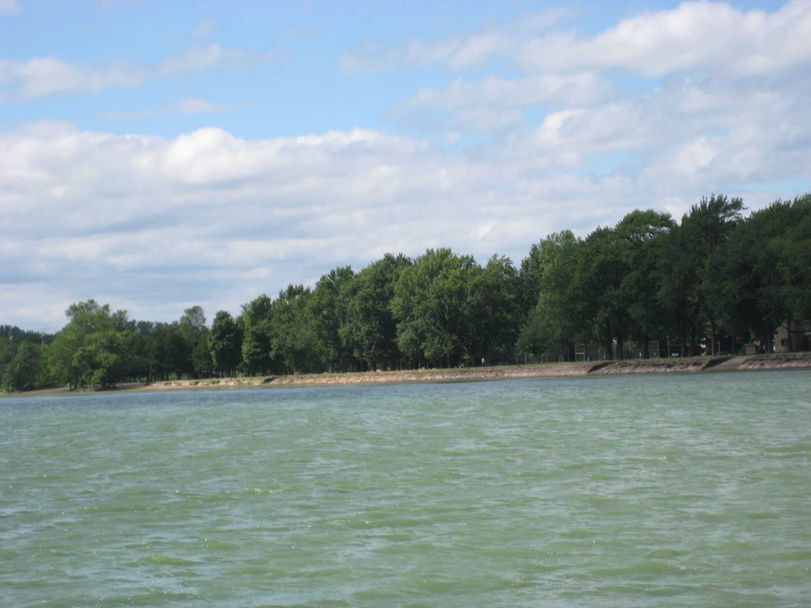
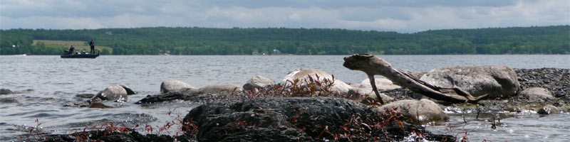
The St. Albans Bay Watershed drains approximately 50 square miles (129.5 square km) of agricultural, forested, and urban land into St. Albans Bay. The Bay has a surface area of about 1,700 acres (700 ha) 7.5 square miles, an average depth of 11 feet with a maximum depth of 64 feet. The terrain is fairly flat. Soils are generally lacustrine tills (unsorted lake sediment). The watershed contains some of the richest farmland in the State of Vermont.
St. Albans Bay
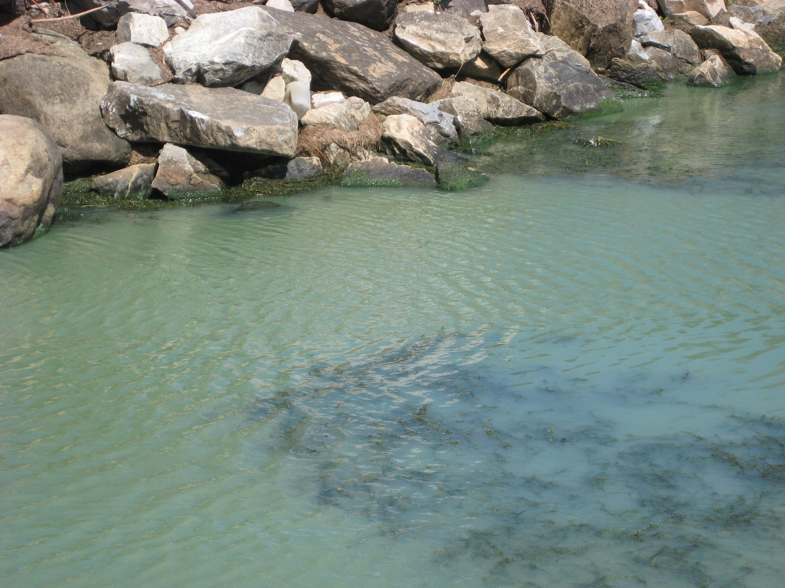
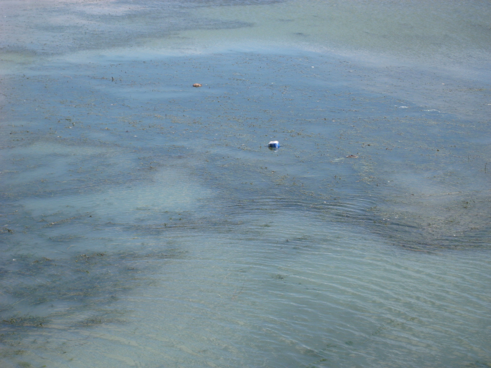
has a long history of water quality problems particularly excessive algae growth caused by uncontrolled phosphorus loading. There are also concerns about nuisance aquatic plant infestations and bacteria contamination. The problem of phosphorus enrichment and summer algae blooms, in particular, has been the subject of a considerable amount of research over that past two decades in order to better understand the causes of the problem and the reasons why it has been so difficult to solve.
Subwatersheds
The St. Albans Bay Watershed is composed of five subwatersheds. The subwatersheds are;
Jewett Brook
flows for approximately 5 miles (8 km) south through fairly flat lands in the cities of Swanton and St. Albans, passing along and under the Dunsmore Road before emptying into the Stevens Brook Wetland and under the Black Bridge.
Stevens Brook
Begins at St. Albans Hill, east of the City of St. Albans, and enters the City at Fisher Pond Road & N. Fairfield Streets. Flows counterclockwise throughout the city before emptying into Stevens Brook Wetland.
Guayland Farm Brook
begins west of St. Albans and flows for approximately 2 miles (3.2 km) through the Bay Village before emptying into the Bay.
Rugg Brook
flows south of the City of St. Albans for approximately 4.5 miles (7.2 km) to the Mill River.
Mill River
begins above the St. Albans Reservoir in the city of Fairfax and flows 9 miles (14.5 km) through forested and agricultural land before emptying into the Bay.
Water Resources Description (http://www.water.ncsu.edu/watershedss/info/stalbans/resdesc.html)
St. Albans Area Watershed Association | P.O. Box 1567, St. Albans VT 05478 | email: info@saintalbanswatershed.org